Sign Faces Home Page
2023 LiDAR
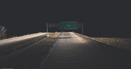
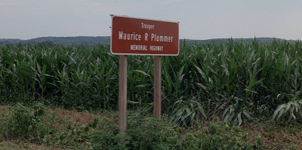
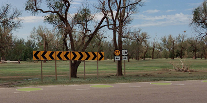
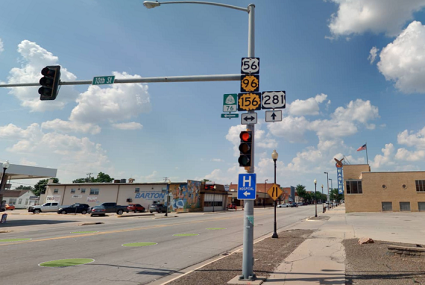
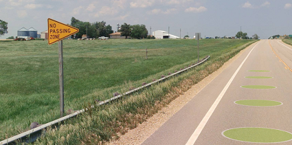
Each point GIS feature represents an individual sign face. Since there are frequently multiple sign faces that share a support, they are placed in slightly offset positions from each other for ease of reference (to avoid being “stacked” at the same coordinates). These features were collected and extracted along the State Highway System (SHS) routes as well as on other connecting roadways, generally within one block or about 1000' from the nearest highway: 98% of features are within 1000' of an SHS route.
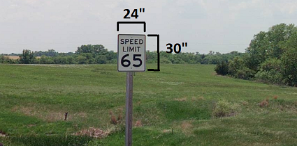
The attributes of each feature include the MUTCD code or KDOT code where applicable as well the backing color, the support type and any variable text that appears on the sign (e.g., a speed limit sign will include the numeric value that appears on the sign).
Please note that the dashboard employs some filters and shows only sign faces on the SHS plus some other peripheral signs based on their MUTCD or KDOT code. The goal was to include only signs that KDOT does or may own and maintain. Other posted versions of the data include all collected features.
Follow this link for more information about the Side of Road and Exposure fields in the attribute table. Side of Road and Exposure
2021 LiDAR
KDOT makes no warranties, guarantees, or representations for accuracy of this information or any materials that are downloaded and assumes no liability for errors or omissions. In addition, KDOT makes no warranties, guarantees, or representations for the private or public use of any information or materials found on this site, the use of any information or data is at the user’s own risk.
