PAVED SHOULDERS HOME PAGE
2023 LiDAR
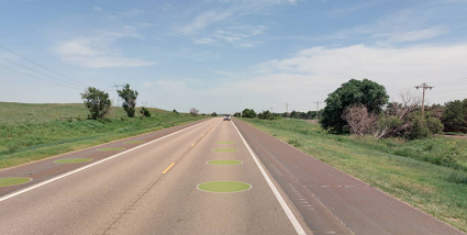
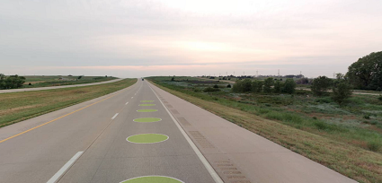
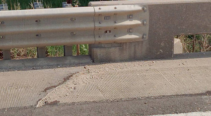
This layer represents the portions of paved roadway surfaces that are not intended for travel. Each linear feature represents a the location and extent of a continuous length of paved shoulder.
Features are placed on each side of each paved surface, even where no paved shoulder exists (Shoulder Width = 0), including next to medians (raised or depressed). Features end at at-grade intersections, with a new feature starting on the other side of each intersection. Features are also segmented between intersections where there are significant changes in the Shoulder Width value, such as a widening or narrowing of a shoulder.
- The dashboard for these features includes only the portions following the State Highway System, though other posted versions of the data include all extracted features.
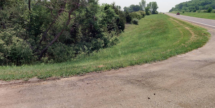
- Unpaved shoulders were not collected as part of the 2023 project but were part of the 2021 project; see the button below for a link to the 2021 Shoulders Home Page.
- Follow this link for more information about the Side of Road field in the attribute table. Side of Road and Exposure
2021 LiDAR
KDOT makes no warranties, guarantees, or representations for accuracy of this information or any materials that are downloaded and assumes no liability for errors or omissions. In addition, KDOT makes no warranties, guarantees, or representations for the private or public use of any information or materials found on this site, the use of any information or data is at the user’s own risk.
