RAILROAD CROSSINGS HOME PAGE
2023 LiDAR
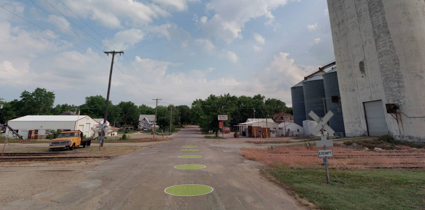
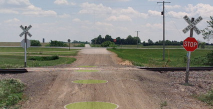
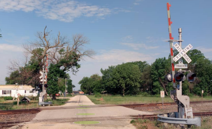
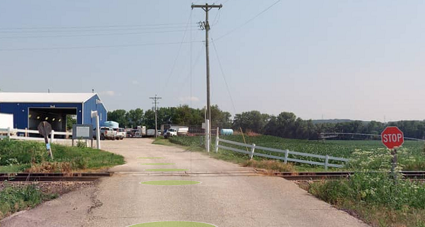
These point features represent the locations of railroad crossings that intersect the State Highway System at grade, as well as other at-grade crossings within 1/2 mile of the State Highway System. Points are placed in the center of the roadway at the location of the rail closest to the nearest State Highway System route or, where the crossing is on the State System, on the rail closest to the nearest intersection.
The features' attributes include the Crossing IDs to match KDOT's BrM database, measurements of the crossing's storage distance (amount of space for vehicles to queue up without overhanging a road or railroad)*, the approach and departing slopes (expressed via percentage) and the type of control present, if any (e.g., crossing gates, flashing lights, etc.).
* NOTE: for crossings that include more than one railroad track, please ignore the Storage Distance values for the features further from the road as they include the other tracks between.
2021 LiDAR
Not Collected in 2021
KDOT makes no warranties, guarantees, or representations for accuracy of this information or any materials that are downloaded and assumes no liability for errors or omissions. In addition, KDOT makes no warranties, guarantees, or representations for the private or public use of any information or materials found on this site, the use of any information or data is at the user’s own risk.
