PAVEMENT STRIPING AND PAVEMENT STRIPING QUANTITIES HOME PAGE
2023 LiDAR
Pavement Striping
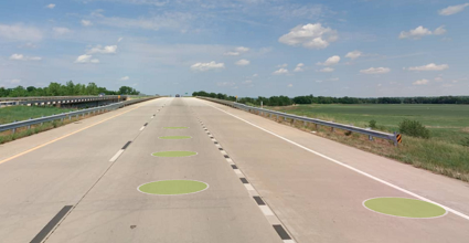
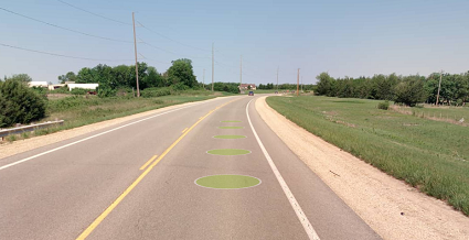
Each line feature shows the location and extent of a continuous, painted lane stripe of the same width, pattern and color. Features are segmented at county lines even where none of these other values change. Please note that some of these extracted features are miles in length, potentially spanning an entire county, and may render very slowly in Street Smart™ and in other applications.
The key attributes collected for these features are the Color, Pattern (solid, broken, dotted or lane drop) and Width.
Please note that there are some features for peripheral routes that intersect the State Highway System at grade but they are sporadic/inconsistent. The dashboard includes only features on the State Highway System (SHS) but all extracted features are included in other posted versions of the data. Also, it's worth noting that there are significant portions of the SHS that do not have detectable paint stripes.
The Pavement Striping Quantities layer is a companion to this layer intended to aid with estimation of paint quantities required for projects. It provides the total length of each paint stripe type (color, pattern and width) within 1/10th-mile lengths of roadway.
Pavement Striping Quantities
This layer provides the total length of each type of paint stripe extracted in the Pavement Striping layer within a 1/10th-mile extent of the State Highway System (SHS). It only includes features for SHS routes and ramps joining SHS routes and was intended to assist with estimation of paint supplies required for re-striping projects. This layer does not include totals for white chevrons or other pavement messages (see the Pavement Messages layer) that fall within each 0.1 mile length of pavement.
In addition to the total linear feet of striping of each color/type/width, the attributes also contain a Passing Restriction field that denotes whether passing is permitted in one or both directions for two-lane roads.
Please note that there are significant portions of the SHS that do not have detectable paint stripes so quantities may be lower than expected.
As noted previously, the extent of each feature is roughly 0.1 miles. The feature geometry follows that of K-Hub (KDOT's linear referencing system) and may not appear to align with the Pavement Striping features themselves.
- For single carriageways, there is one feature for each direction of travel (only one if the traffic is one-way or two if there is two-way traffic). Where there are two directions of travel, the features will overlap spatially and can be distinguised using the Route Direction field (Inventory or Non-Inventory).
- For dual carriageways, there is one feature per carriageway.
There is no dashboard for this feature since it would not provide any additional insight beyond what is shown on the Pavement Striping dashboard.
2021 LiDAR
Not Collected in 2021


KDOT makes no warranties, guarantees, or representations for accuracy of this information or any materials that are downloaded and assumes no liability for errors or omissions. In addition, KDOT makes no warranties, guarantees, or representations for the private or public use of any information or materials found on this site, the use of any information or data is at the user’s own risk.

