US Bicycle Routes (USBR) through Kansas
Designated and Potential Routes
Adventure Cycling Association National Corridor Plan
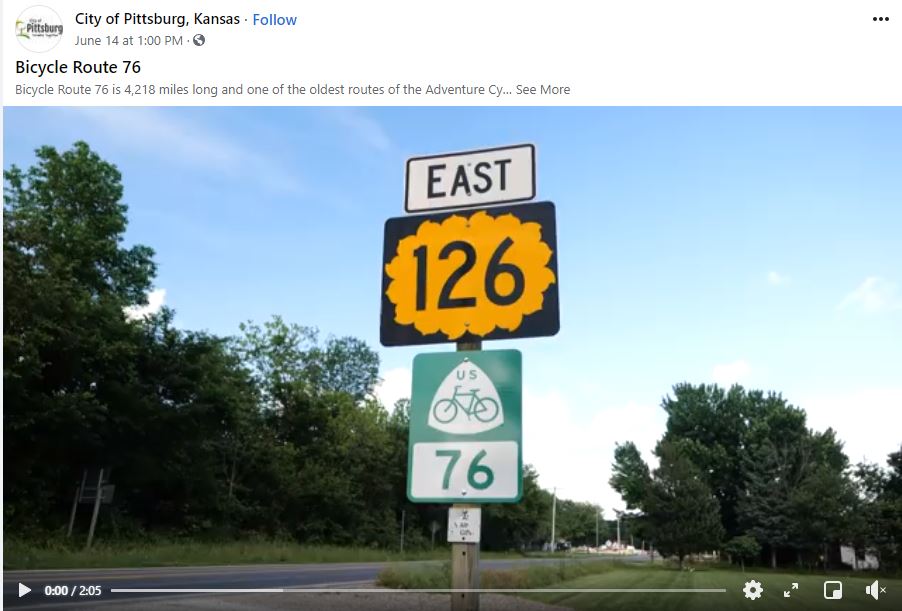
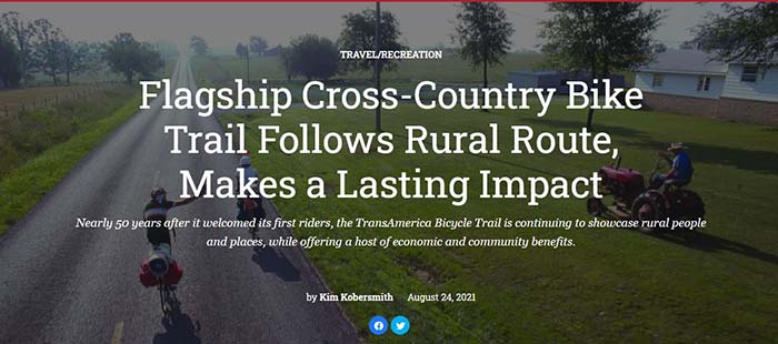
USBRs 76 and 66 have been designated and signed in Kansas thanks to the collaboration between KDOT and Adventure Cycling. USBR 76 is also known as the TransAmerica Bicycle Trail. The section of USBR 76 through Kansas extends more than 480 miles and runs from Greely County on the Colorado border to Crawford County on the Missouri border. The Kansas stretch of USBR 66 is 13 miles long and runs through the southeast corner of the state. Work has begun towards the development and designation of the section of the USBR 55 through Kansas.
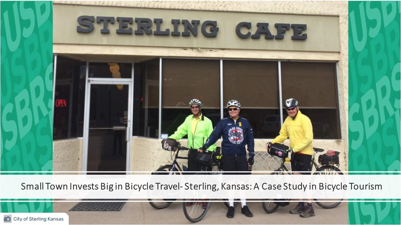
The purpose of the USBR system is to connect bicycle routes across the country for safer, long-distance cycling. Thousands of cyclists ride these routes through Kansas every year offering great tourist opportunities for the over 30 communities they pass through, especially rural towns. Many towns take advantage of this opportunity for economic growth and development by making their towns more bicycle-friendly and creating attractive resting and overnight spots for travelers.
Did you know? USBRs do not usually follow one highway, nor do their names necessarily coincide with a main stretch of highway.
- For example, USBR 76 was named after the year of the Bikecentennial (1976), a large bike tour organized in honor of the US Bicentennial, and includes portions of U.S. 54, Kansas 19 and Kansas 96.
- USBRs use a mix of highways, county roads and sometimes trails for increased safety.
More Resources:
Adventure Cycling What's the Story with Kansas? published July 22,2019
Trans Am Bike Race 2016 Video
AASHTO, Adventure Cycling Formalize Partnership to Reach 50,000-Mile Bike Route System
Adventure Cycling Association: Solutions for Making Rumble Strips Safer for Cyclists
Kansas Policy on Longitudinal Milled-In Rumble Strips revised September 1, 2020
KDOT Press Release of USBR 76 and 66 sign unveiling
2020-2022 Kansas Bicycle Map, online Map Request Portal, and Interactive Bicycle Map
Share your USBR Story!
To explore USBRs 76 and 66 and other USBRs, visit: https://www.adventurecycling.org/routes-and-maps/.
If you want to be involved in the development of USBRs in Kansas, contact Jenny Kramer, jenny.Kramer@ks.gov
For more information on the KDOT Bicycle and Pedestrian Program, and to find more resources on cycling in Kansas,
go to: https://www.ksdot.org/burRail/bike/default.asp.


