2021 KDOT MOBILE LiDAR PROJECT DATA PORTAL
Sign Faces Home Page
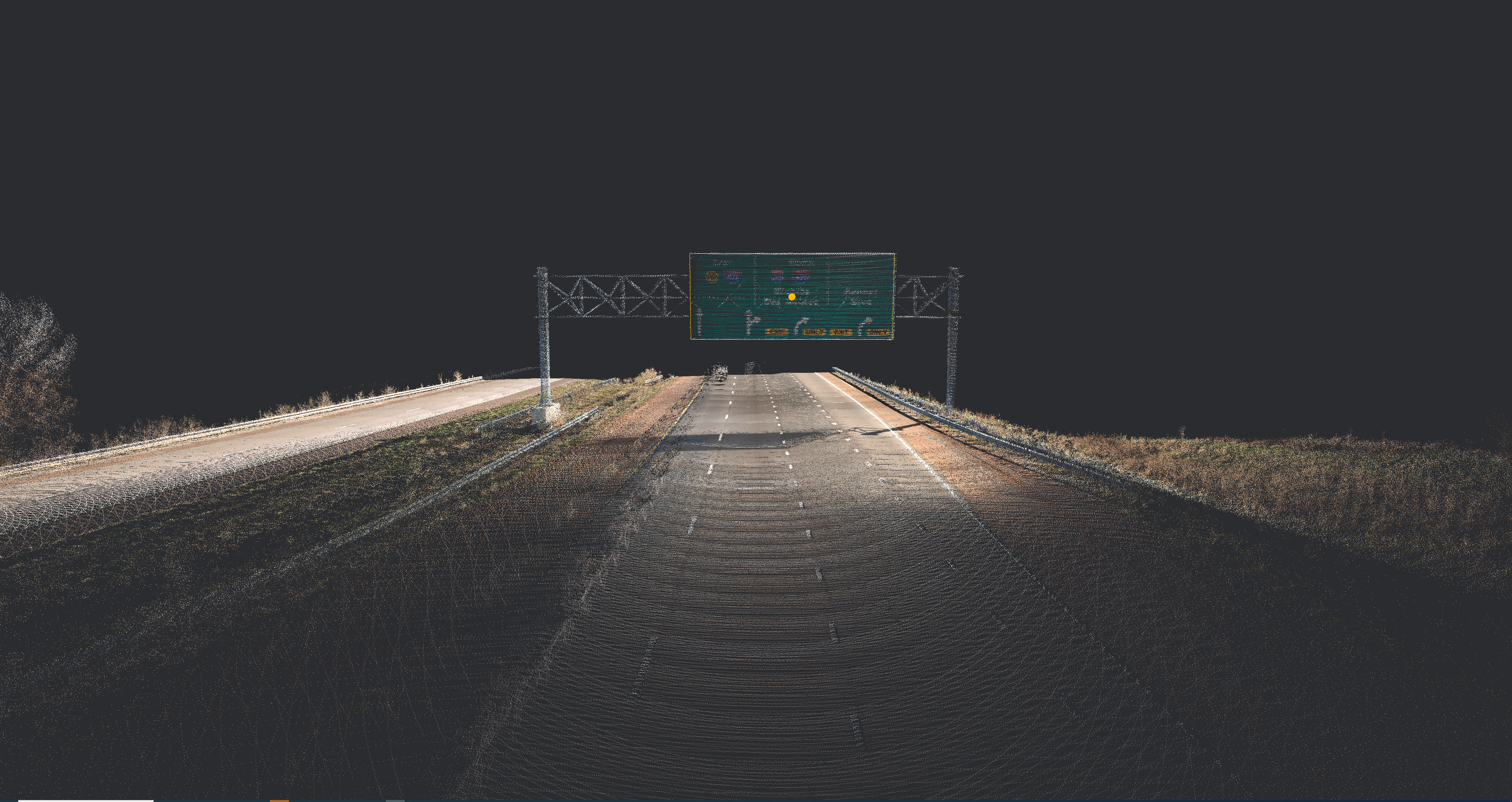
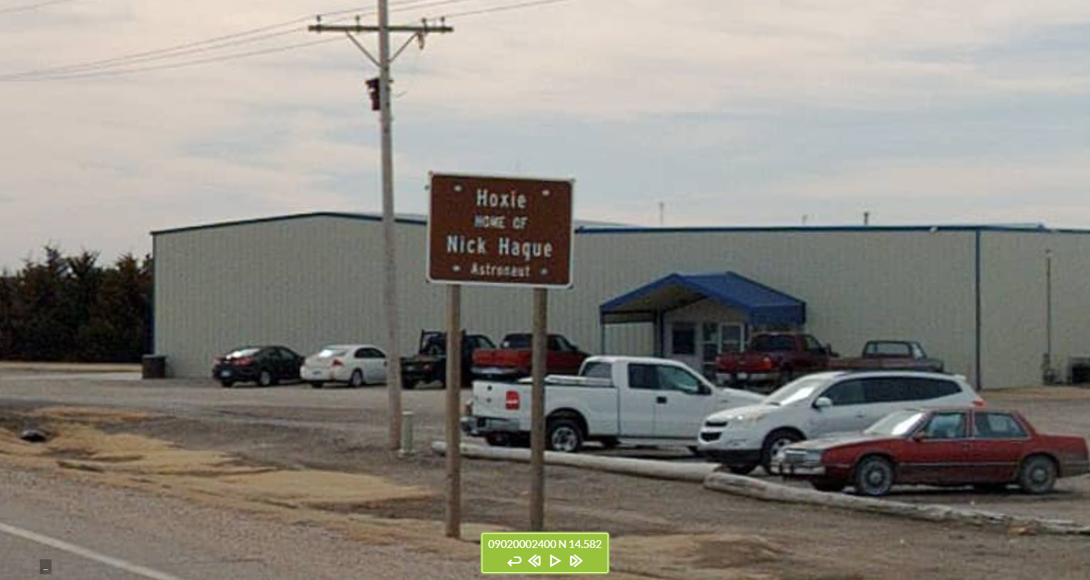
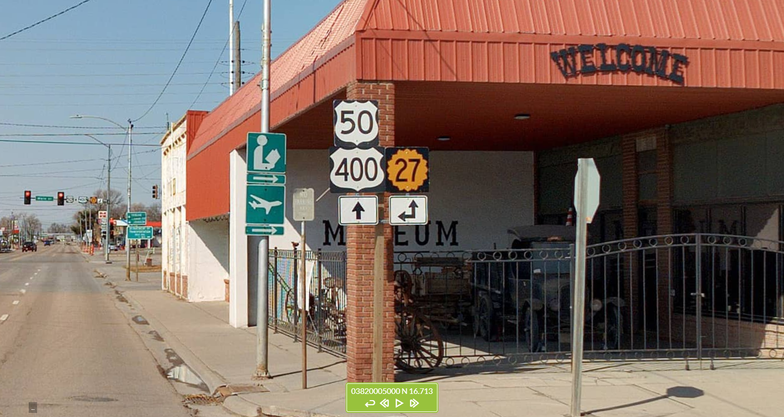
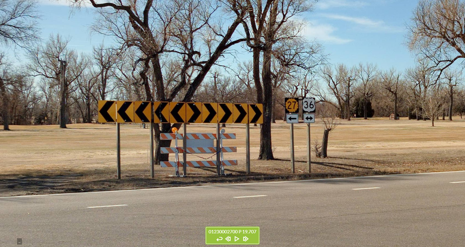
Each point GIS feature represents an individual sign face. Each also contains attribute data about the type of sign support (metal, wood, etc.).
Notes:
- • Sign faces that share a support are placed in slightly offset positions from each other for ease of reference (to avoid being “stacked” at the same coordinates).
- • These features were collected and extracted only along the State Highway System routes, including along ramps that connect one State Highway System route to another.
- • Sign face features were not collected or extracted for signs along non-State Highway System routes where they intersect State Highway System routes.
KDOT makes no warranties, guarantees, or representations for accuracy of this information or any materials that are downloaded and assumes no liability for errors or omissions. In addition, KDOT makes no warranties, guarantees, or representations for the private or public use of any information or materials found on this site, the use of any information or data is at the user’s own risk.
