Gore Points Home Page
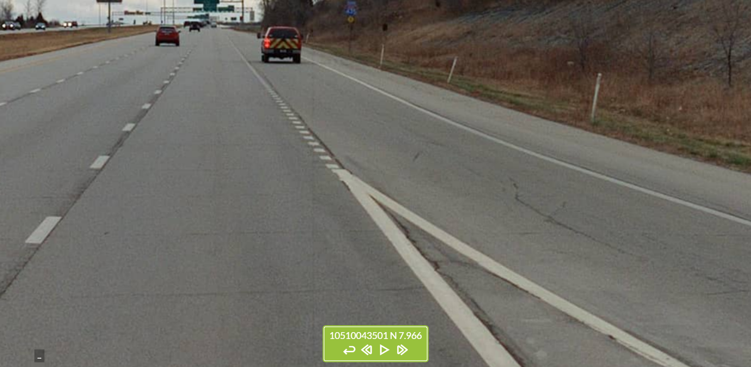
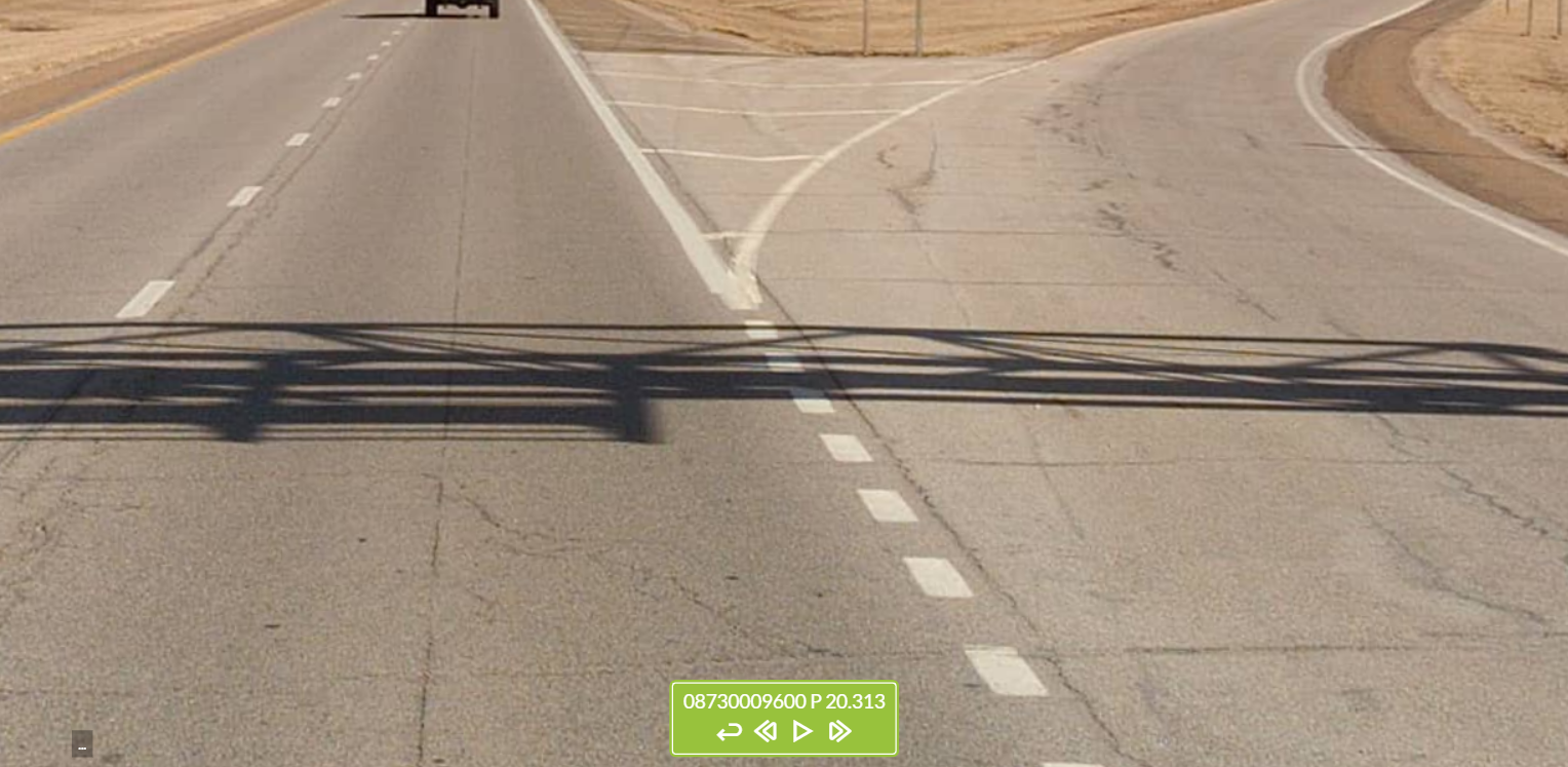
Each point GIS feature represents the point at which a lane of traffic diverges from or converges with other lanes traveling the same direction. Specifically, it represents the “theoretical” gore point, or the “tip” of the triangular-shaped zone created by the solid white lines on the road where lanes merge or diverge because of an exit ramp or a turn lane. Physical gores, the physical obstructions that are often present where lanes converge and diverge, are not represented in this layer.
These features were collected for all State Highway System roads, including at intersections with local or other non-State Highway System roads.
Please note that no dashboard has been created for this feature layer because it contains no attribute data to visualize. Similarly, no dedicated web map has been created, though the features can be viewed on the web map that shows all extracted features: https://ksdot.maps.arcgis.com/home/item.html?id=6b6d6ebdd6e34d4292b9dd14bd49c86f.


KDOT makes no warranties, guarantees, or representations for accuracy of this information or any materials that are downloaded and assumes no liability for errors or omissions. In addition, KDOT makes no warranties, guarantees, or representations for the private or public use of any information or materials found on this site, the use of any information or data is at the user’s own risk.

