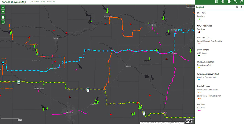
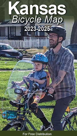
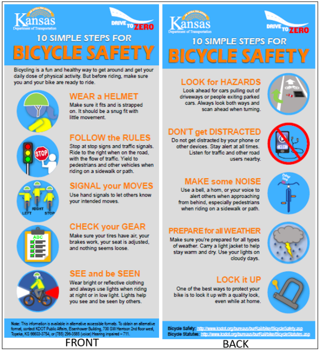
Kansas Bicycle MapThe 2023-25 edition of the Kansas Bicycle Map is now available! Order your printed map now and/or view the digital version below. Whether you're looking to ride a bicycle from one county to the next or across the entire state, this new edition has a lot to offer for those planning a short trip or a long ride. Maps are available free of charge and can now be requested through the Kansas Bicycle Map Request Portal. You will have the option of ordering the following: Map Safety Flyer Order your print copy on the online Map Request Portal now! To order maps by email or phone, please contact Jenny Kramer at Jenny.Kramer@ks.gov or call (785) 296-5186. You may also view and download the map: We encourage you to consult the Kansas Bicycle Map and the Interactive Bicycle Map when making your travel plans. The 2023-25 map includes a State map showing daily traffic volumes, county roads, rest areas, bike shops, byways, state parks, bicycle routes across Kansas, as well as the following:
For a collection of interactive cycling maps published online by KDOT, go to: http://arcg.is/f9eiO Locally Produced Bike Maps:
State Bicycle Map |
- home
- Traveler Information
- Doing Business
- PERMITS
- BIDDING & LETTING
- COMMERCIAL VEHICLE
INFORMATION - DESIGN CONSULTANTS
- CADD SUPPORT
- HIGHWAY CONTRACTORS
- OFFICE OF CIVIL RIGHTS COMPLIANCE
- Request for Quotation
- Partnering
- Access Management
- State Sign Request Form
- DUI Memorial Marker
- LOCAL GOVERNMENTS

- Right Of Way

- Crash Data
- ReConnect Program
- Cost Share Program
- Modern Tolling
- Discretionary Support
- Inside KDOT
- For Employees
- ABOUT KDOT
- DISTRICTS
- DIVISIONS AND BUREAUS

- PERFORMANCE MANAGEMENT
- Metro Cities

- Projects/Publications
- Public Information
Traveler information
doing business
inside kdot
projects/publications
public information
© Kansas Department of Transportation
To request an alternative accessible format of a KDOT publication, please contact Division of Communications :
Eisenhower Building - 700 SW Harrison, 2nd Floor West, Topeka, KS, 66603-3745, or (785) 296-3585 (Voice)/Hearing Impaired - 711.


